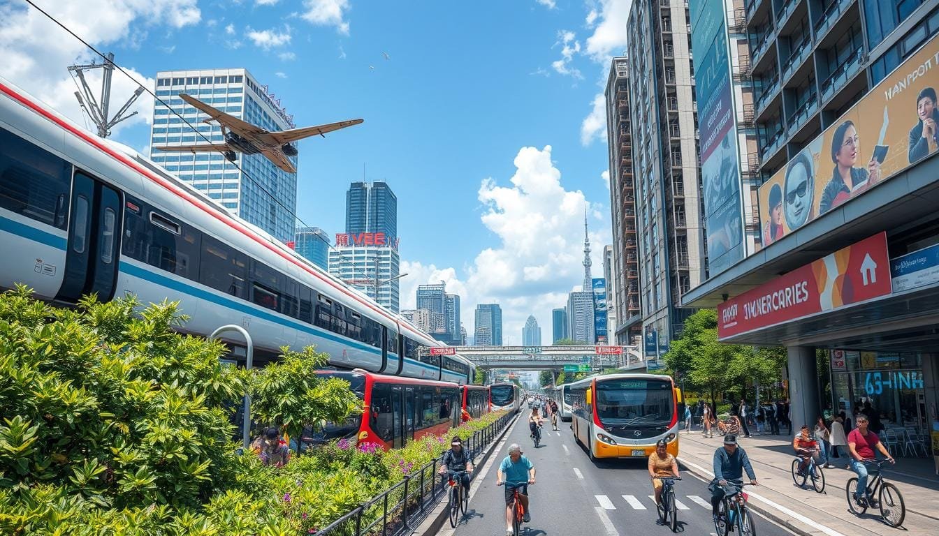
Traveling in the USA is exciting. You can see big cities and small towns. But, how do you get around this big country?
There’s no one right answer. It depends on your budget, how much time you have, and what you like. Let’s look at some ways to travel across America.
Air travel is fast but expensive. Buses are cheaper and go almost everywhere. Trains are good for scenic views and can save money on some trips.
Driving is a popular choice for flexibility. It costs about $54 a day. You can stop whenever you want and find secret spots.
Choosing the best travel method depends on what you want. Are you ready to plan your next big trip?
USA City Travel: Understanding Transportation Options

Exploring cities and local culture starts with knowing how to get around. When planning your next trip, it’s key to understand urban travel.
Public Transportation Growth and Statistics
Public transit in the USA has grown a lot. In 2023, it saw a 16% rise to 7.1 billion trips. This shows more people want to travel green.
Choosing public transit can save over $13,000 a year. This is more than driving.
Top-Rated Transit Cities in America
Some cities are great for public transport. This makes city tours easy. New York City tops the list with a score of 88.8.
It has 472 subway stations and 238 bus routes. San Francisco is second with its famous cable cars. Boston, Washington D.C., and Philadelphia also offer great ways to see local spots.
Regional Transportation Networks
Transportation varies by region in the USA. The East Coast has more trains. The West Coast uses trains, buses, and light rail.
Many cities now have bike-sharing programs. This helps people explore more. But, rural areas face big challenges. Over 80% of rural workers drive alone.
Yet, programs like the Essential Air Service connect smaller places to big cities.
| Region | Primary Transport | Unique Feature |
|---|---|---|
| East Coast | Trains | Dense rail network |
| West Coast | Mixed (trains, buses, light rail) | Bike-sharing programs |
| Rural Areas | Personal vehicles | Essential Air Service program |
Best Methods for Inter-City Transportation
Traveling between cities in the USA has many options. You can fly, take a train, or drive. Each way has its own benefits for seeing new places.
Domestic Flight Networks and Airports
Flying is the quickest way to travel long distances. The USA has over 5,000 public airports. This network helps people get to many places fast.
Amtrak Train Services and Routes
Amtrak trains offer a calm way to travel. They go to over 500 places. Routes like the Coast Starlight show amazing views as you travel.
Interstate Bus Services
Bus travel is cheap and good for those watching their budget. Greyhound buses go to many places. They help you see lots of city attractions.
Car Rental and Road Trip Options
Renting a car lets you travel at your own speed. It’s great for seeing many places or going to hard-to-reach spots. Many cities also have car-sharing services.
| Transportation Method | Advantages | Best For |
|---|---|---|
| Domestic Flights | Fast, extensive network | Long-distance travel, time-sensitive trips |
| Amtrak Trains | Scenic routes, relaxed travel | Enjoying landscapes, medium-distance trips |
| Interstate Buses | Affordable, flexible schedules | Budget travel, accessing smaller towns |
| Car Rentals | Freedom, convenience | Exploring multiple locations, rural areas |
Most Scenic Train Routes Across America
Train travel lets you see America’s beauty in a special way. You can explore cities and nature on these journeys. They show off amazing city views and natural wonders.
Coast Starlight Experience
The Coast Starlight goes from Los Angeles to Seattle, covering 1,377 miles. You’ll see the Pacific coast, mountains, and forests on this 35-hour trip.
California Zephyr Journey
The California Zephyr connects Chicago and San Francisco, over 2,438 miles. This 51-hour ride takes you through the Rockies and Sierra Nevada. You’ll see amazing views from the Observation Car.
Empire Builder Adventure
The Empire Builder goes from Chicago to Seattle and Portland, covering 2,206 miles. This 46-hour trip takes you through Glacier National Park and the North Dakota plains. It’s great for those who love city and nature.
Southwest Chief Discovery
The Southwest Chief runs from Chicago to Los Angeles, over 2,265 miles in 40 hours. You’ll see the Wild West landscapes. It’s a mix of culture and scenic beauty.
| Route | Distance (miles) | Duration (hours) | Key Attractions |
|---|---|---|---|
| Coast Starlight | 1,377 | 35 | Pacific coastline, mountains, forests |
| California Zephyr | 2,438 | 51 | Rockies, Sierra Nevada, Observation Car |
| Empire Builder | 2,206 | 46 | Glacier National Park, North Dakota plains |
| Southwest Chief | 2,265 | 40 | Wild West landscapes, cultural sites |
Conclusion
Exploring the USA’s cities is an amazing adventure for city lovers. Places like Boston and Portland show off America’s culture in their own way. Traveling around these cities is as varied as the places you visit.
Walking through New Orleans’ jazz streets or seeing Chicago’s buildings is exciting. Cities like Seattle and San Francisco are easier to get around with public transit. The Coast Starlight train ride shows off America’s beauty.
Choosing how to travel between cities depends on what you want. Flying is good for quick trips, while road trips let you stop wherever you want. Each way of traveling, like trains, buses, or cars, brings new experiences.
Traveling between cities in America is as fun as the places you see. So, get ready, pick your travel way, and start your city adventures across this great country.


